
Three years ago, I set off on a journey. It was a journey that eventually took me along hundreds of miles of borders and boundaries across the British Isles, travelling by car, bus, plane, train, ferry and on foot. My mission was not only to uncover the history of these often ancient borderlands, but to understand how they’ve shaped modern Britain.
I visited the green banks of the River Tamar, the 1,000-year-old divide between Anglo-Saxon Devon and Celtic Kernow. I hiked Offa’s Dyke through the Welsh Marches, I road-tripped along England’s border with Scotland, ventured to the most northerly Shetland isles, and travelled the 300-mile (482km) partition that divides Ireland.
The most surprising border I discovered, however, was a long-forgotten boundary that once divided England, and which today follows the unassuming route of the A5 dual carriageway. The A5 in itself is hardly beguiling, but it does hold the surprising origins of modern England within its concrete roundabouts and little-visited Midlands towns.

The A5 follows much of the same route as Watling Street, a 2,000-year-old Roman road that stretched from Richborough Fort in Kent, north-west to Wroxeter in Shropshire.
The Romans built their roads to last, and a few centuries after their legions departed Britain, Watling Street became a convenient frontier, the dividing line between Anglo-Saxon kingdoms to the south and conquering Danish invaders to the north.
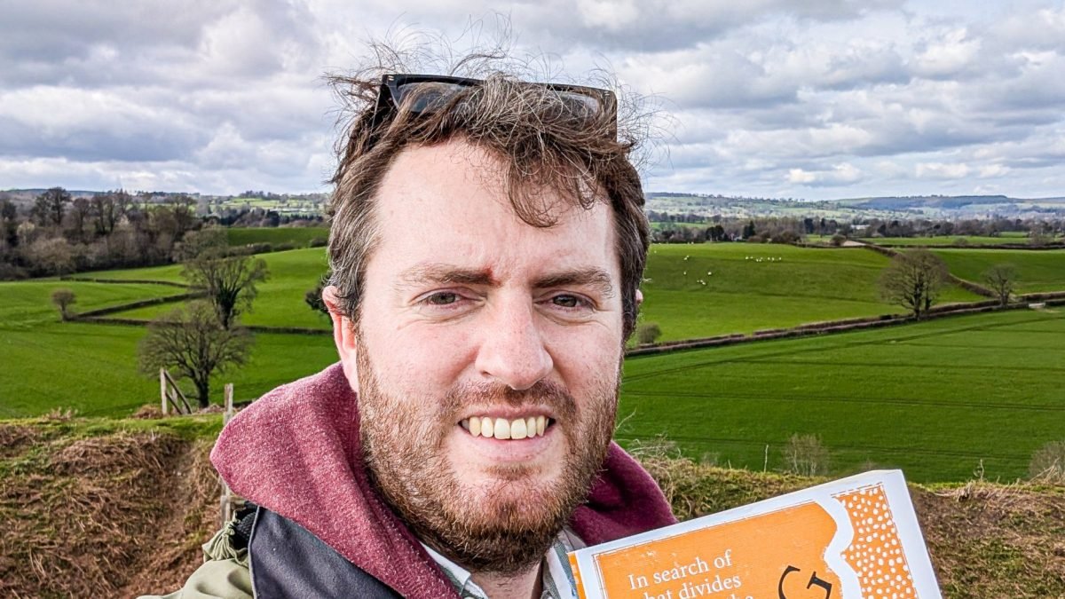
While researching my new book, Along the Borders: In search of what divides and unites the British Isles, I travelled the A5, searching out a history I’d known little about. In the Midlands market town of Tamworth, I was awed by the medieval riches of the “Staffordshire Hoard”, part of which is displayed in the Norman castle overlooking Watling Street.

The largest haul of Anglo-Saxon gold ever discovered, the Staffordshire Hoard – which includes gold-hilted swords, ornate helmets, Byzantine coins and silver jewellery – was stashed in this area sometime in the seventh century. The weapons and wealth, buried for safekeeping during a time of war, paint a picture of a fractured medieval England we’ve all but forgotten.
Today, Tamworth is best known for its motorway services, the nearby Drayton Manor theme park and resort, or its indoor ski slope – but it should also be known as an ancient English capital. During the seventh century, England as we know it today didn’t exist.
Instead, the land was divided between warring Anglo-Saxon kingdoms, including Mercia, Wessex and Northumbria. Mercia stretched across much of the Midlands, and it was a Mercian king named Offa – the same king who built Offa’s Dyke to divide his kingdom from the Welsh – who transformed Tamworth into his royal capital in the eighth century.
Buried hoards of Saxon gold show how England’s earliest kingdoms battled for power and land, but it was the Vikings who took full advantage of this fractured political landscape when they began raiding England.

In the cold crypts of St Editha’s Church in the centre of Tamworth, a friendly volunteer guide showed me broken masonry carved with religious motifs and Latin script. This, he said, is all that remains of an early Mercian church, destroyed by marauding Vikings in the year 874; relics of a lost Saxon kingdom.
The Vikings decided they quite liked it in England.
Alongside Tamworth, the Mercian capital, they conquered great swaths of northern England and this land became known as the Danelaw (where Danish law was enforced), its southern border running along Watling Street – now the A5.
That wasn’t the end of the story, however. At the base of Tamworth Castle, in the pleasant Victorian gardens surrounding the mound, you’ll find a statue of Tamworth’s warrior heroine Æthelflæd, “The Lady of the Mercians”.

Æthelflæd’s father was Alfred the Great, the king who dreamt of uniting all the English-speaking kingdoms to kick out the Vikings. His daughter led the charge, recapturing Tamworth and pushing the Vikings back.
Alfred’s dream was never realised in his lifetime, but his grandson Athelstan – who was raised here in Tamworth by Lady Æthelflæd – carried on the work, and in 927, he was crowned the first king of a united England. The rest, as they say, is history.
A local historian told me that without the Danelaw, without this border, England may never have existed – its divided kingdoms only united to counter the existential threat of the Vikings.
The Viking invaders never disappeared but were absorbed into England; Old Norse and Danish place names still exist north of Watling Street (like Scunthorpe and Grimsby), while the Old Danish language survives in English words, including “law”.
My journey along this forgotten boundary showed me that England was never inevitable. From its earliest origins, England has always been a place of change, a place where cultures, peoples and identities – be they Romans, Celts, Anglo-Saxons, Normans or Danes – clashed, merged, and moulded into something new. A trend that very much continues to this day.
Richard Collett’s book Along the Borders: In search of what divides and unites the British Isles, is available now (£20, Doubleday)